0 £0.00
products in your basketto quote Checkout
Ooops no items were found.
Try something else.
Ok
Loading…

The Peters Projection Map

Category Maps & Compasses
HE340983

The Peters Projection Map

Product Code: HE340983
Category Maps & Compasses

Cover Colour: please select

Page Colour: please select

Size: please select

Page Ruling: please select

Number of Sides: please select

Lamination (Additional fee may apply):

Custom Print (Additional fee may apply)

Inside Cover Print:

Outside Cover Print:

Description

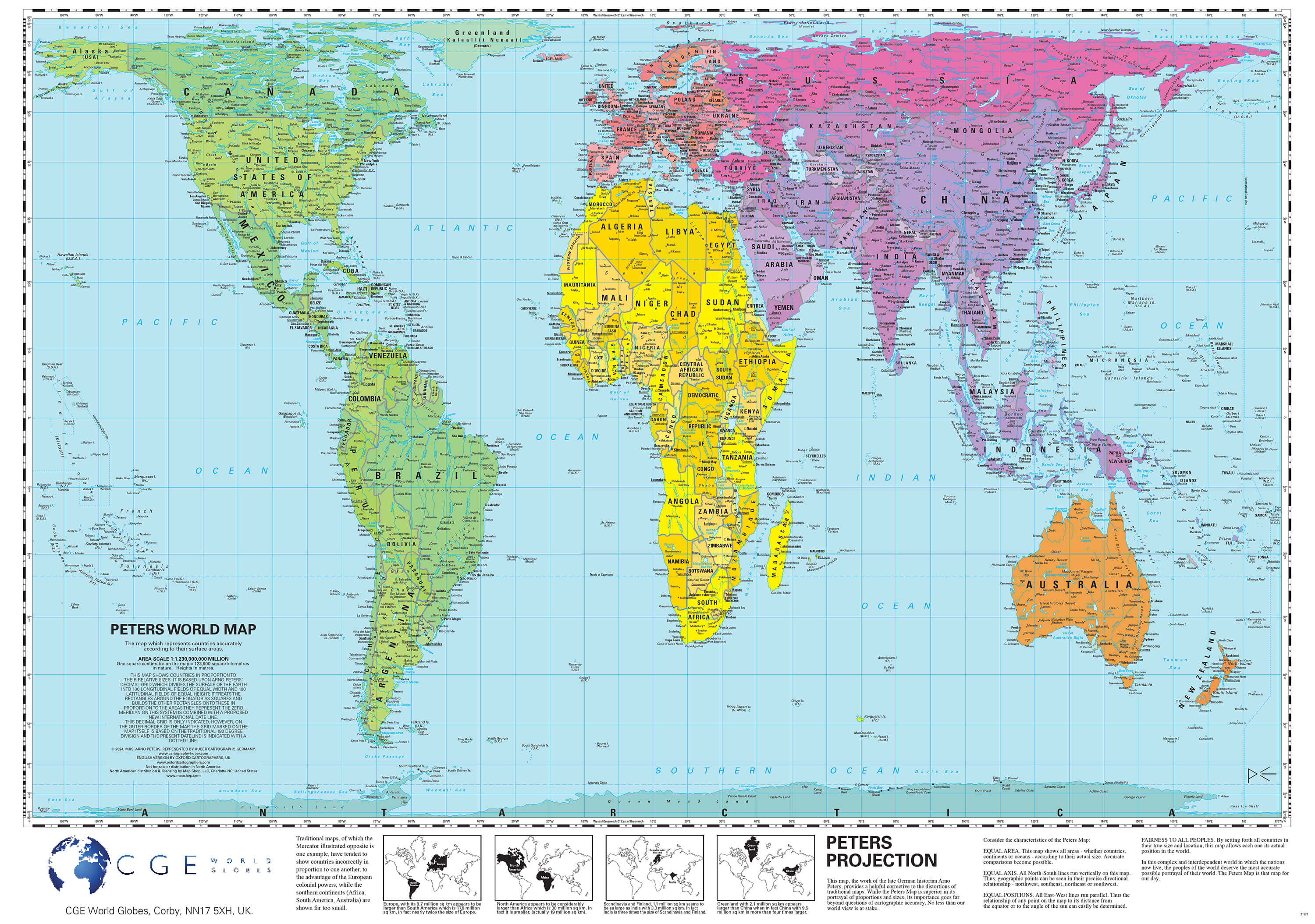
This laminated Peter's Projection Map provides an accurate representation of the world's land areas and oceans, supporting clear and unbiased geographical learning for KS2 and above. Ideal for classroom display, it helps pupils develop spatial awareness and understand global geography in line with curriculum requirements.

  • Suitable for Key Stage 2 and upwards
  • Features detailed cartography with continents, countries, major cities, oceans, and seas clearly labelled
  • Laminated for durability and easy cleaning
  • Dimensions: 590 x 840mm
  • Area scale: 1 square centimetre equals 123,000 square kilometres

Specifications

UNSPSC Code

60103410

Height

55in

Width

55in

Length

760in

Brand

Findel

Categories

Geography

Call for price
Starting from
£27.45
- +

Cover Colour: please select

Page Colour: please select

Size: please select

Page Ruling: please select

Number of Sides: please select

Lamination (Additional fee may apply):

Custom Print (Additional fee may apply)

Inside Cover Print:

Outside Cover Print:

The Peters Projection Map

Category Maps & Compasses
HE340983

The Peters Projection Map

Product Code: HE340983
Category Maps & Compasses
Call for price
Starting from
£27.45
- +

Description

This laminated Peter's Projection Map provides an accurate representation of the world's land areas and oceans, supporting clear and unbiased geographical learning for KS2 and above. Ideal for classroom display, it helps pupils develop spatial awareness and understand global geography in line with curriculum requirements.

  • Suitable for Key Stage 2 and upwards
  • Features detailed cartography with continents, countries, major cities, oceans, and seas clearly labelled
  • Laminated for durability and easy cleaning
  • Dimensions: 590 x 840mm
  • Area scale: 1 square centimetre equals 123,000 square kilometres

Specifications

UNSPSC Code

60103410

Height

55in

Width

55in

Length

760in

Brand

Findel

Categories

Geography


SEARCH ×