Description
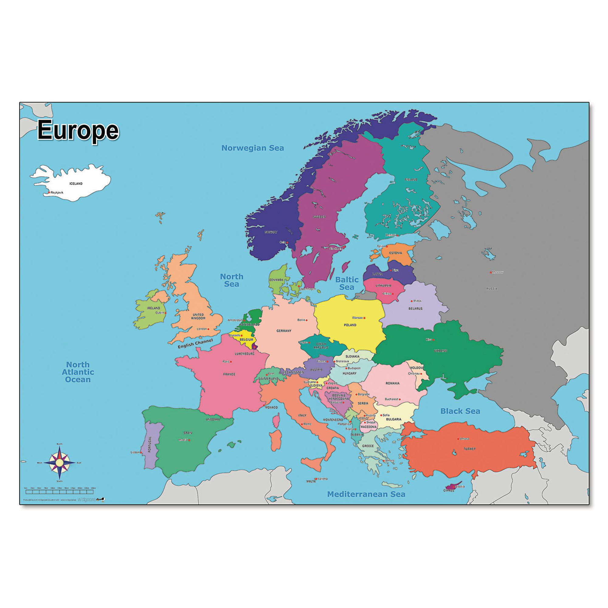
Say Bonjour, Hola, Witam and Ciao to this clear, colourful map of Europe.
Detailing the country borders, capital cities and oceans, it is perfect for any classroom or learning environment. Ideal for delivering key Geography objectives across Key Stage 1 and 2, this map can be used to support study about contrasting localities and to learn about the location of the UK in relation to other countries in Europe.
Atlas! You've found the perfect resource to help your pupils make sense of the world around us and put Geography learning on the map!
What's in the Box?
1 x Map of Europe Size: 594mm x 841mm (A1 size)
Specifications
UNSPSC Code
60103408
Height
50in
Width
50in
Length
595in
Brand
Findel
Categories
Geography