Political Map of the British Isles - Pack of 5
Description
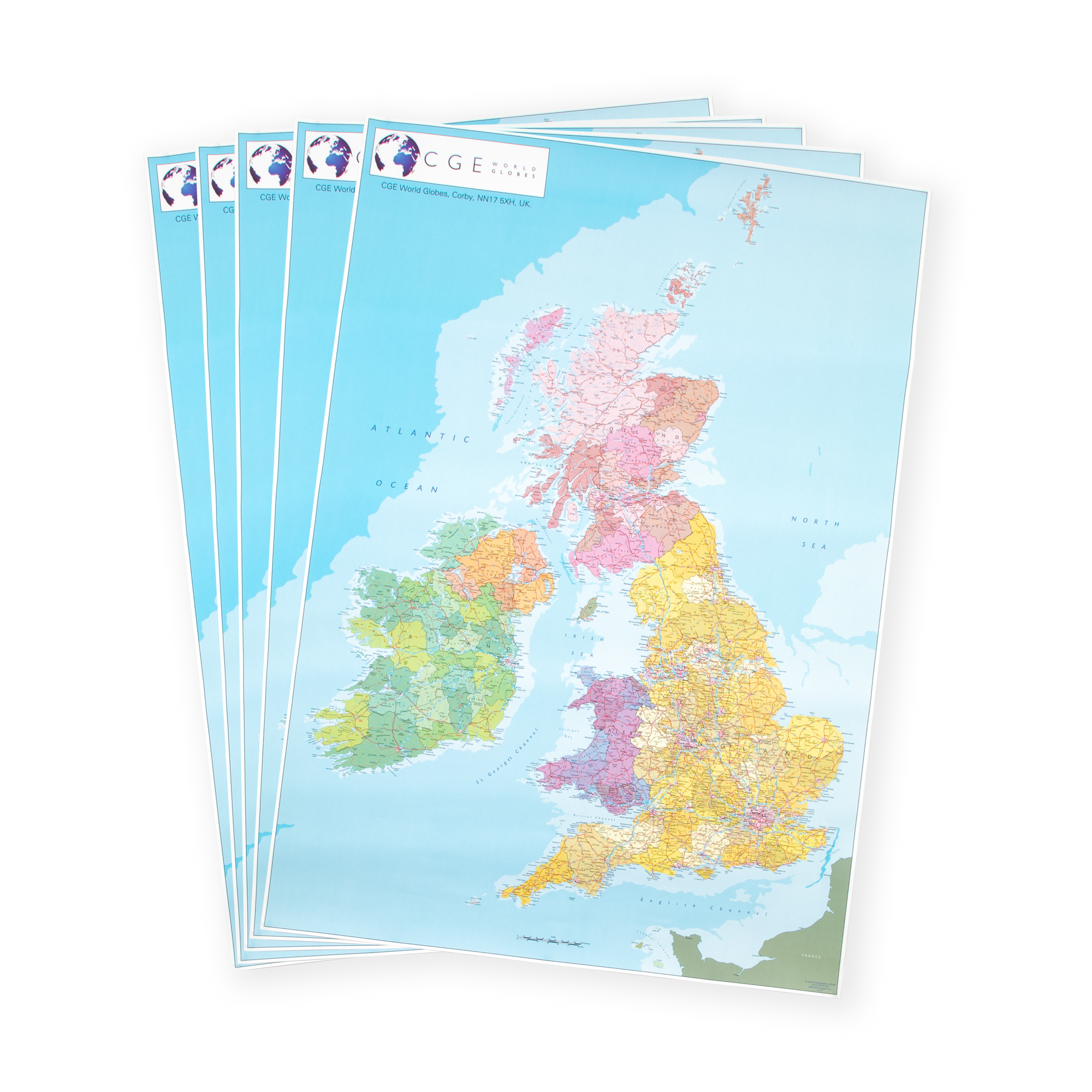
A pack of 5 large paper maps clearly showing the borders between England, Scotland, Wales and Northern Ireland. Counties are shown in different shades. Cities and towns, major road and rail routes, national parks and physical features are clearly named. The size of the maps makes them ideal for projects and displays. Printed in the UK using modern digital cartography. Size of each map: 1000mm x 700mm.
- Pack of 5
- Clearly labelled boundaries and details
- Ideal for individual and groupwork tasks
- Dimensions: 1000mm x 700mm
Specifications
UNSPSC Code
55101501
Height
55in
Width
55in
Length
790in
Brand
Findel
Categories
Geography
Category
Maps & Compasses