0 £0.00
products in your basketto quote Checkout
Ooops no items were found.
Try something else.
Ok
Loading…

Ordnance Survey Cards

Category Maps & Compasses
HP00056549

Ordnance Survey Cards

Product Code: HP00056549
Category Maps & Compasses

Cover Colour: please select

Page Colour: please select

Size: please select

Page Ruling: please select

Number of Sides: please select

Lamination (Additional fee may apply):

Custom Print (Additional fee may apply)

Inside Cover Print:

Outside Cover Print:

Description

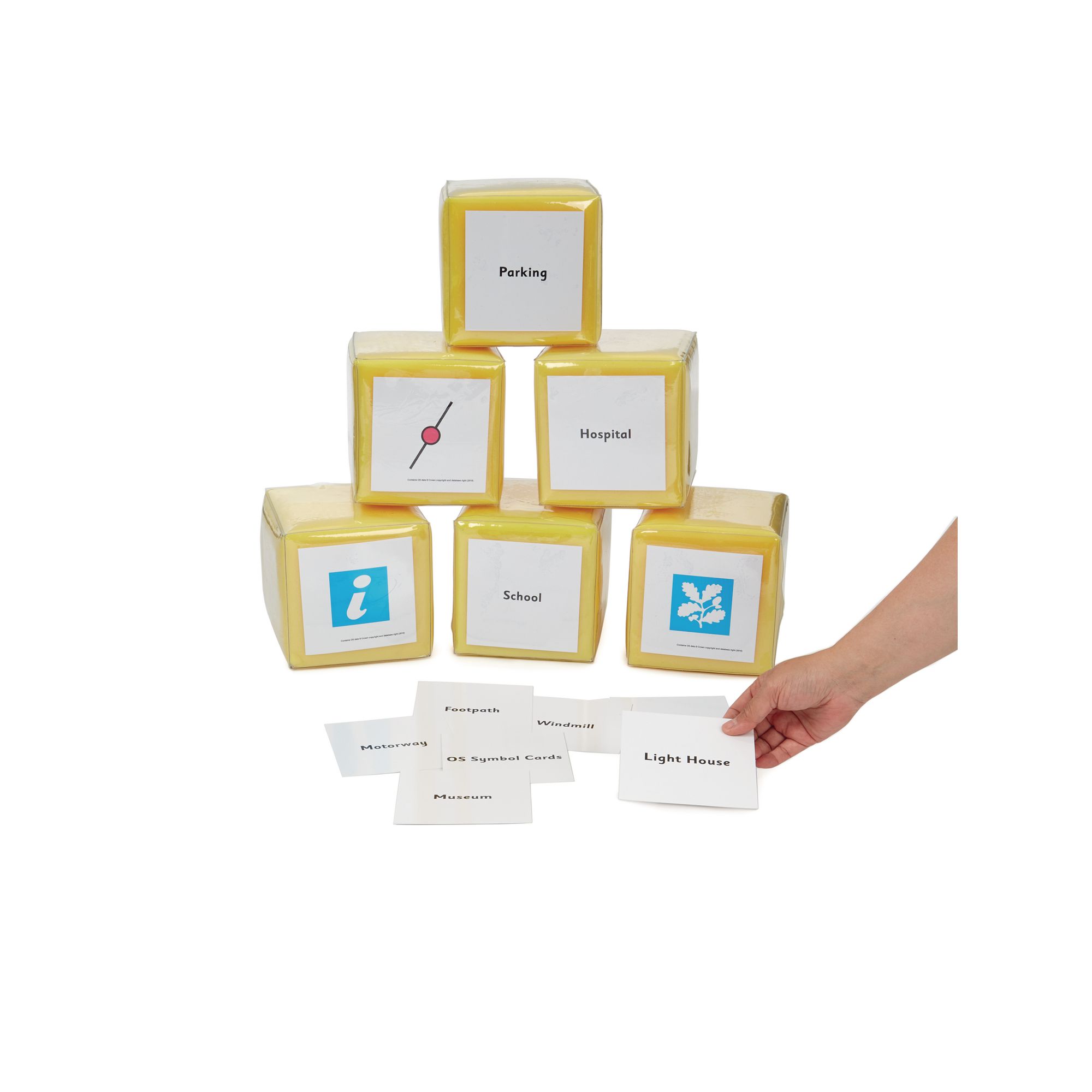
Support geography lessons with these Ordnance Survey Cards, designed to help pupils recognise and understand key map symbols. Ideal for KS2 classrooms, these cards encourage interactive learning about map reading and navigation.

  • Set includes 37 double-sided cards featuring Ordnance Survey symbols with images and corresponding words.

  • Suitable for ages 7 and above, aligning with Key Stage 2 geography curriculum.

  • Each card measures 110 x 110 mm for easy handling and visibility.

  • Can be used in discussions on map use, places visited, locations and route plotting

  • Supplied in a handy zip top wallet for convenient storage and organisation.

  • Can be used independently or alongside other map skills resources.

  • Foam dice sold separately

Specifications

UNSPSC Code

60103408

Height

15in

Width

105in

Length

105in

Brand

Findel

Categories

Geography

Call for price
Starting from
£10.95
- +

Cover Colour: please select

Page Colour: please select

Size: please select

Page Ruling: please select

Number of Sides: please select

Lamination (Additional fee may apply):

Custom Print (Additional fee may apply)

Inside Cover Print:

Outside Cover Print:

Ordnance Survey Cards

Category Maps & Compasses
HP00056549

Ordnance Survey Cards

Product Code: HP00056549
Category Maps & Compasses
Call for price
Starting from
£10.95
- +

Description

Support geography lessons with these Ordnance Survey Cards, designed to help pupils recognise and understand key map symbols. Ideal for KS2 classrooms, these cards encourage interactive learning about map reading and navigation.

  • Set includes 37 double-sided cards featuring Ordnance Survey symbols with images and corresponding words.

  • Suitable for ages 7 and above, aligning with Key Stage 2 geography curriculum.

  • Each card measures 110 x 110 mm for easy handling and visibility.

  • Can be used in discussions on map use, places visited, locations and route plotting

  • Supplied in a handy zip top wallet for convenient storage and organisation.

  • Can be used independently or alongside other map skills resources.

  • Foam dice sold separately

Specifications

UNSPSC Code

60103408

Height

15in

Width

105in

Length

105in

Brand

Findel

Categories

Geography


SEARCH ×