0 £0.00
products in your basketto quote Checkout
Ooops no items were found.
Try something else.
Ok
Loading…

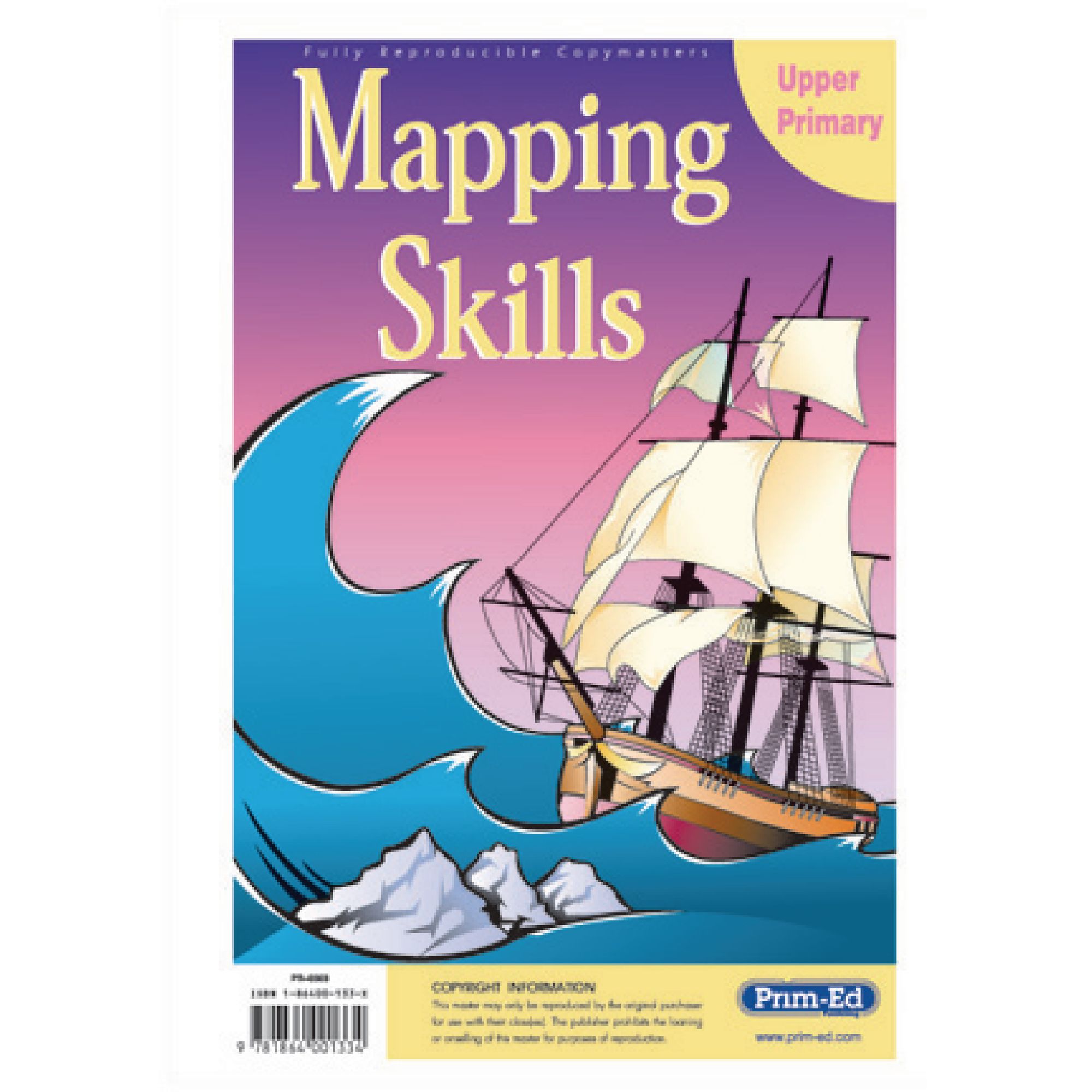
Prim-Ed Mapping Skills Upper Primary

Category Maps & Compasses
HE48754017

Prim-Ed Mapping Skills Upper Primary

Product Code: HE48754017
Category Maps & Compasses

Cover Colour: please select

Page Colour: please select

Size: please select

Page Ruling: please select

Number of Sides: please select

Lamination (Additional fee may apply):

Custom Print (Additional fee may apply)

Inside Cover Print:

Outside Cover Print:

Description

Resources to develop mapping skills. Includes latitude and longitude, scales and estimating distance. Contains blank outlines of the British Isles and Europe maps.

Features:

  • wide variety of photocopiable mapping and atlas skill activities
  • focus on accurate identification of known and unknown locations and provision of accurate instructions
  • promote important skills into other curriculum areas and adult life
  • can be used in conjunction with all school atlases
  • skills include horizontal and vertical, co-ordinates, symbols, compass points, giving directions, latitude and longitude and familiarity with a range of maps; e.g. mud, plans, street, physical and political

Specifications

UNSPSC Code

60101729

Height

10in

Width

210in

Length

300in

Brand

Findel

Categories

Geography

Category

Maps & Compasses

Call for price
Starting from
£18.65
- +

Cover Colour: please select

Page Colour: please select

Size: please select

Page Ruling: please select

Number of Sides: please select

Lamination (Additional fee may apply):

Custom Print (Additional fee may apply)

Inside Cover Print:

Outside Cover Print:

Prim-Ed Mapping Skills Upper Primary

Category Maps & Compasses
HE48754017

Prim-Ed Mapping Skills Upper Primary

Product Code: HE48754017
Category Maps & Compasses
Call for price
Starting from
£18.65
- +

Description

Resources to develop mapping skills. Includes latitude and longitude, scales and estimating distance. Contains blank outlines of the British Isles and Europe maps.

Features:

  • wide variety of photocopiable mapping and atlas skill activities
  • focus on accurate identification of known and unknown locations and provision of accurate instructions
  • promote important skills into other curriculum areas and adult life
  • can be used in conjunction with all school atlases
  • skills include horizontal and vertical, co-ordinates, symbols, compass points, giving directions, latitude and longitude and familiarity with a range of maps; e.g. mud, plans, street, physical and political

Specifications

UNSPSC Code

60101729

Height

10in

Width

210in

Length

300in

Brand

Findel

Categories

Geography

Category

Maps & Compasses


SEARCH ×